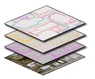
GIS Broadband Map Layer
WebTech Broadband Map Layer
Page in progress~New Maps links coming soon
Geographic Information Systems (GIS) is a computerized system used to store, retrieve, manipulate and analyze spatial data. The Development Authority partnered with WebTech GIS platform and database providing current data of mapping systems visualization tools.


